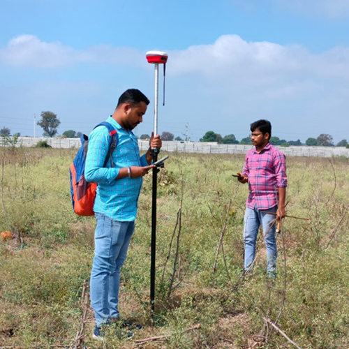
It Includes establishment of DGPS / Ground Controls, DT/ST
Leveling, Traversing, Monumentation of Pillars for
Controls/BMs, Boundary and Grid Pillars as per Client
specifications for Pipeline / Road Alignments, Roads,
Irrigation and other infrastructure projects, updation and
macro level mapping.
Blow-up Survey, Block level Survey, Hydrological and
Hydrolographic Survey, Moblie LiDAR and UAV data Collection.
Site / Property Survey, Cadastral / Revenue Survey, including
Collection of document from various, Govt Authorities.