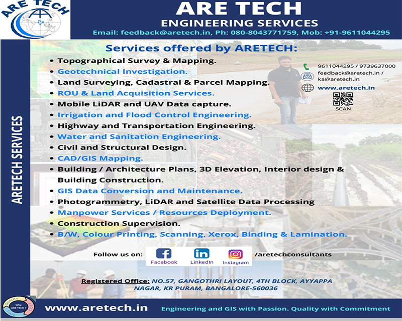
About Are Tech Consultants
What we do
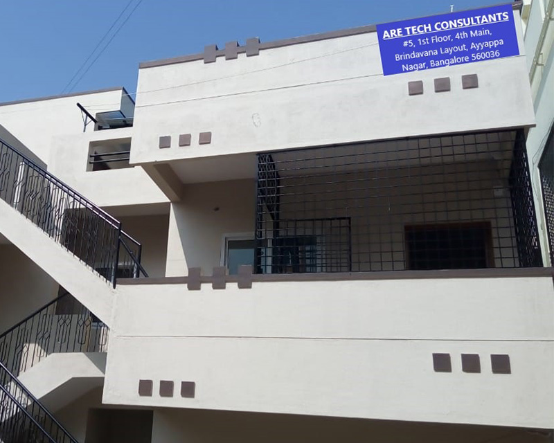
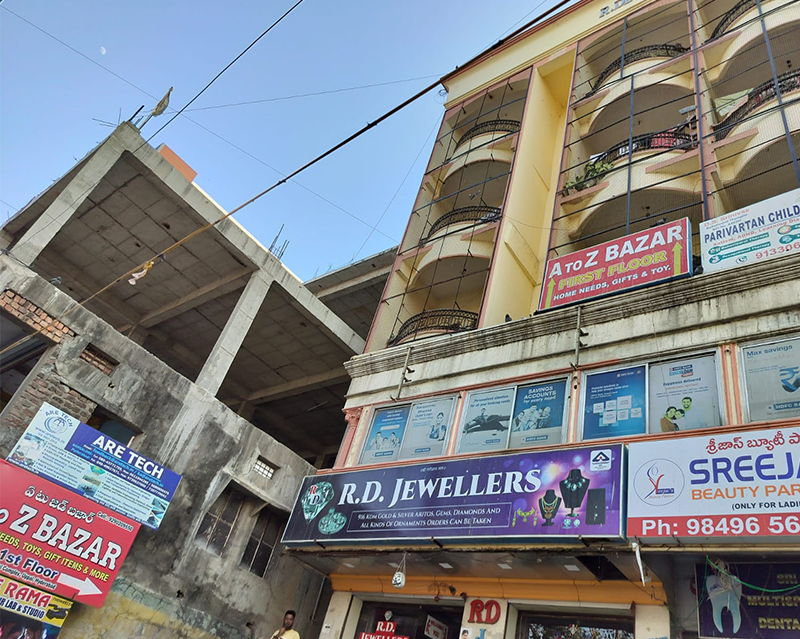
ARE TECH CONSULTANTS (ARETECH), an ISO 9001:2015 certified Engineering Consultancy firm, established in 2019, based at Bangalore (Bengaluru), having Branch office at Hyderabad and Camp offices at Hassan & Tumkuru in Karnataka, Ananthapuram & Vizag in Andhra Pradesh, Chennai and Madhurai in Tamil Nadu.
ARETECH offers Engineering Consultancy service such as, Topographical Survey, CAD / GIS Mapping, Geotechnical Investigation, GPR Survey, Cadastral / Revenue Survey, obtaining statutory Clearance, RoU activities, Land Acquisition, Roads & Highways Design, Irrigation Planning, UAV / Drone Survey & Videography, Photogrammetry, LiDAR & Satellite Data processing and Civil Constructions. ARETECH also provide Manpower Services for skilled jobs.
ARETECH has comprehensive and hands-on experience in carrying out various type of Survey including Precision DGPS / ETS / Alignment Survey, Drone, Geotechnical Investigation, GPR, NDT, CAD / GIS, Lidar, Photogrammetry & As-Build Mapping.
ARETECH registered as Civil Contractor (Class-III), Forest Contractor, KPTCL Contractor along with ESI & Labour licence in Karnataka, Telangana and Andhra Pradesh States.
Why Are Tech?
Complete Solution
ARETECH provides complete solution related to Survey, Investigation, CAD/GIS, LiDAR/Photogrammetry, ROU, Land Acquisition Services , Construction Supervision, Macro & Micro Irrigation study / Flood modelling, Highway Engineering, etc
GIS Compatible
Provides GIS compatible Deliverables.
Experience
ARETECH's experience in the field of Data capture, Processing using latest Technology, Design services ensures the capability, desired expertise for timely, cost and quality based deliverable. Cost Effective Solutions
As start-up company ARETECH provide Cost effective topnotch solutions
Our Services
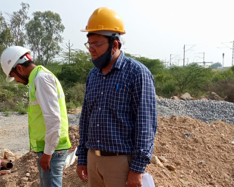
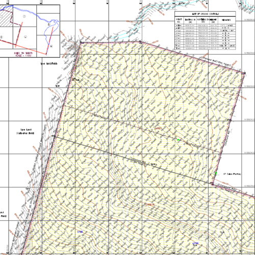
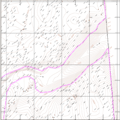
Survey and Topographical Mapping
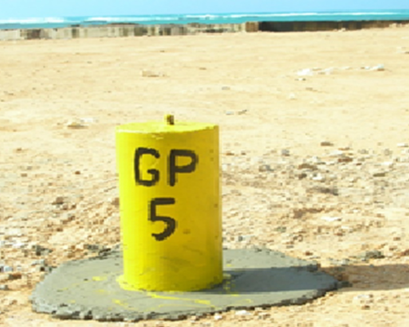
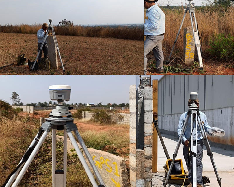
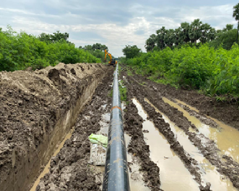
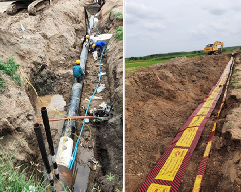
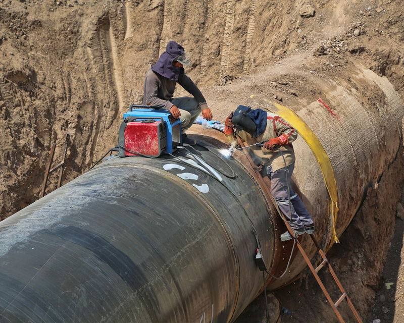
Establishment of DGPS / Ground Controls, DT/ST Leveling, Traversing, Monumentation of Pillars for Controls/BMs, Boundary and Grid Pillars as per Client specifications for Pipeline / Road Alignments, Roads, Irrigation and other infrastructure projects, updation and macro level mapping. Readmore..
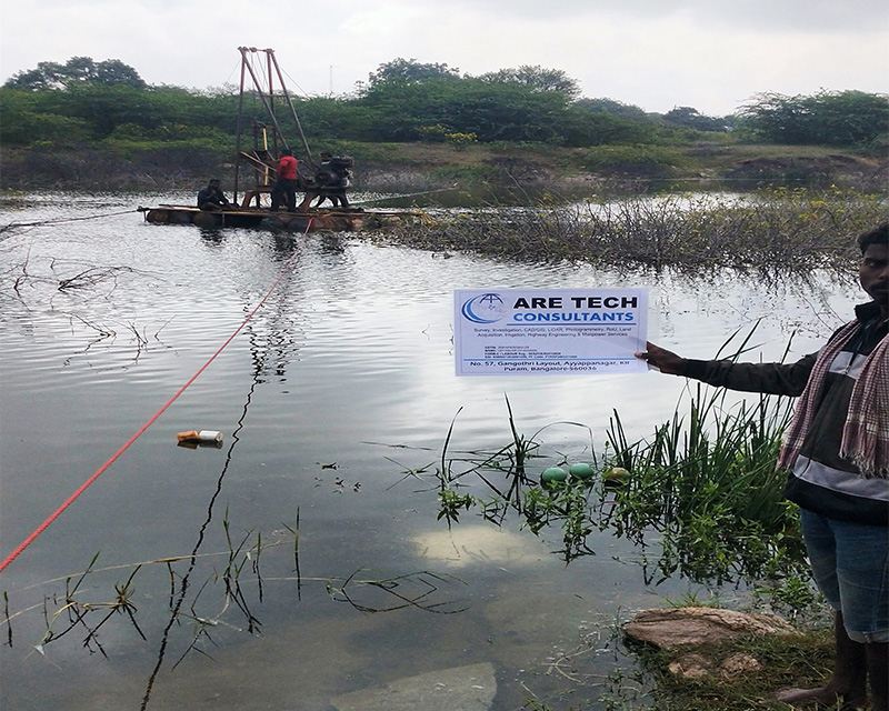
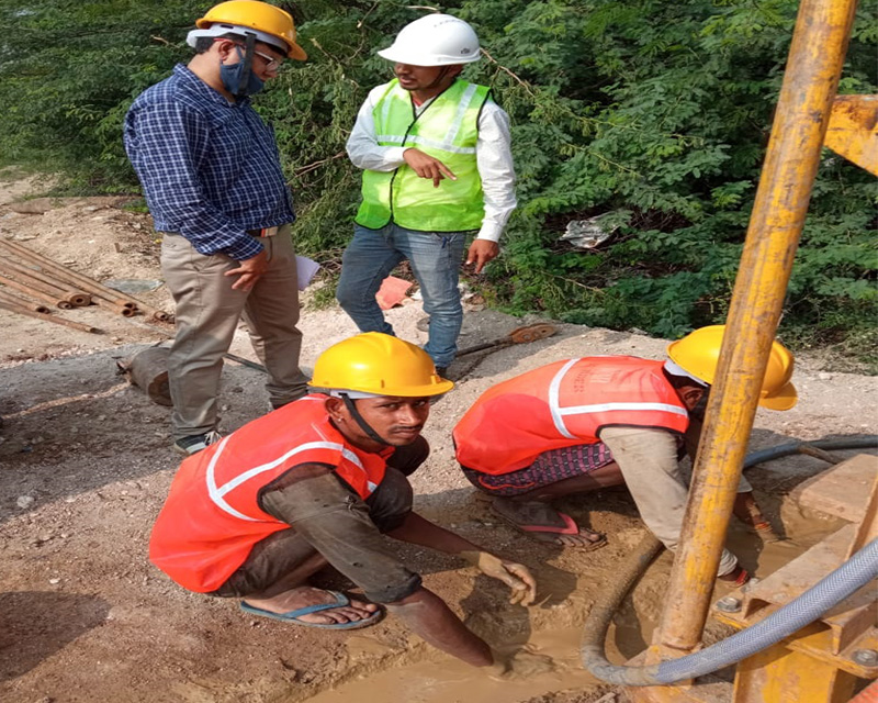
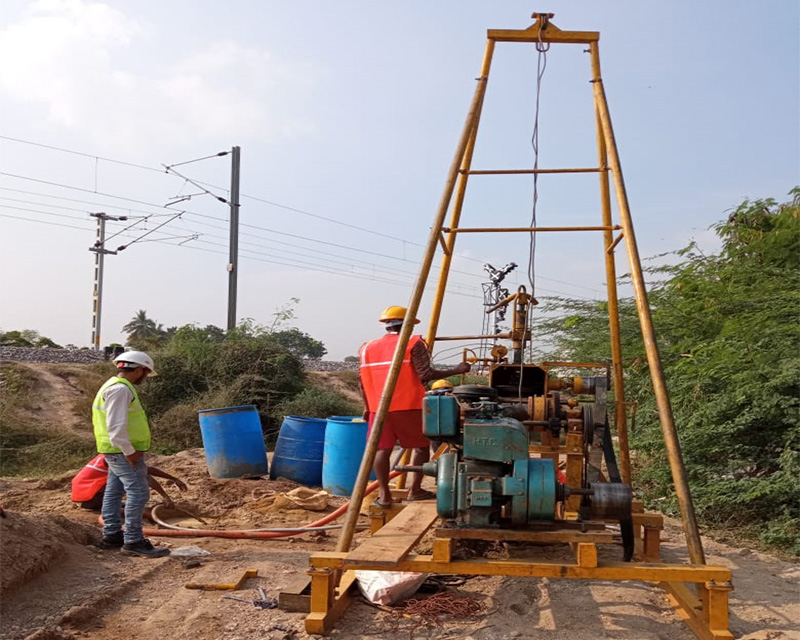
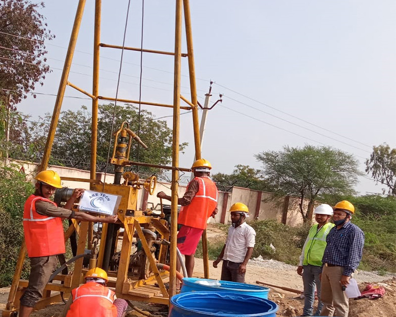
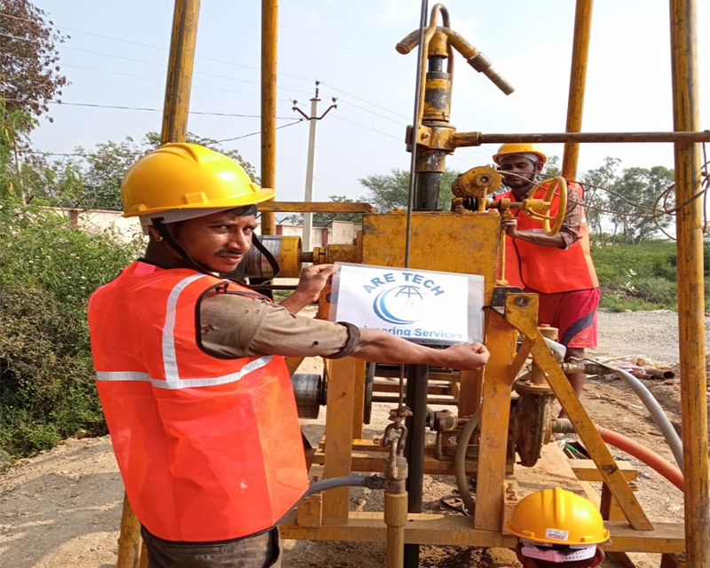
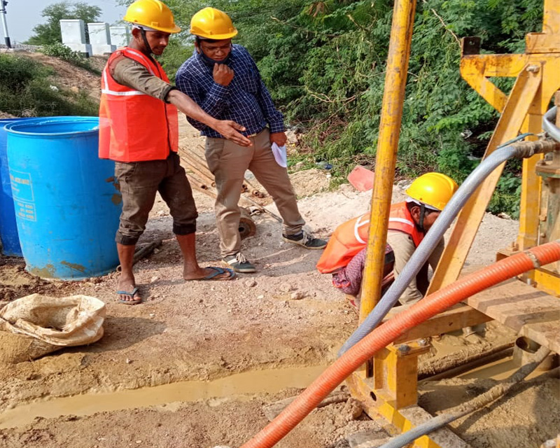
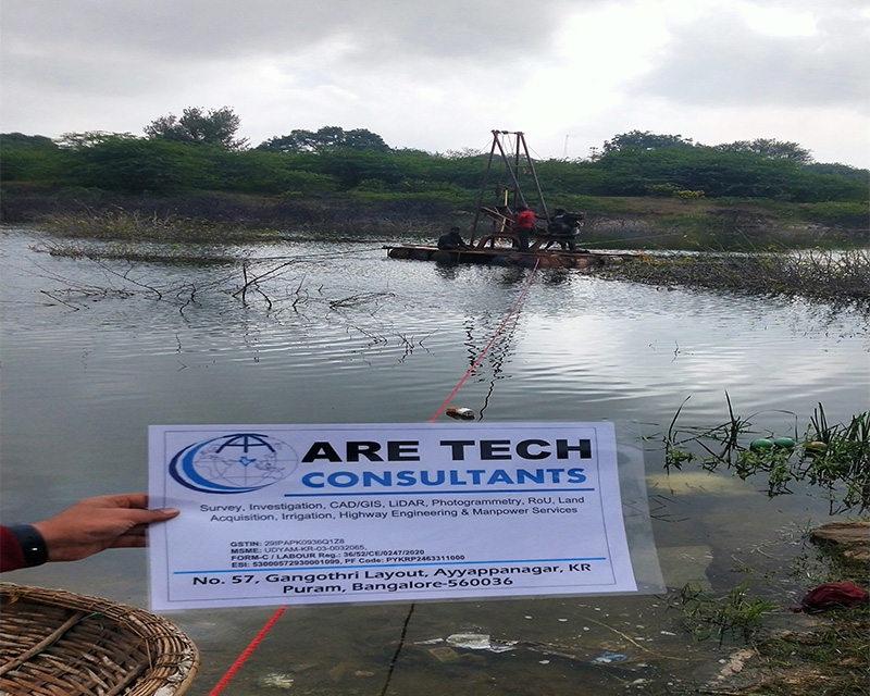
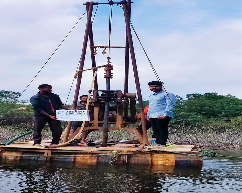
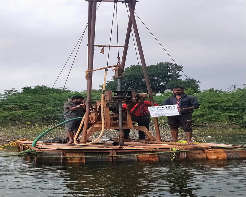
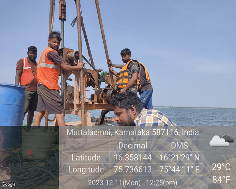
Geotechnical Investigation
Engineering Survey / Sub-bottom Profile, ERT, Augur Boreholes, Soil stratification, Fault line and NTD Survey., Drilling - Extensive Vertical, Horizontal and Inclined Drilling. , Specialised Investigations, Testing and Sampling. Readmore..
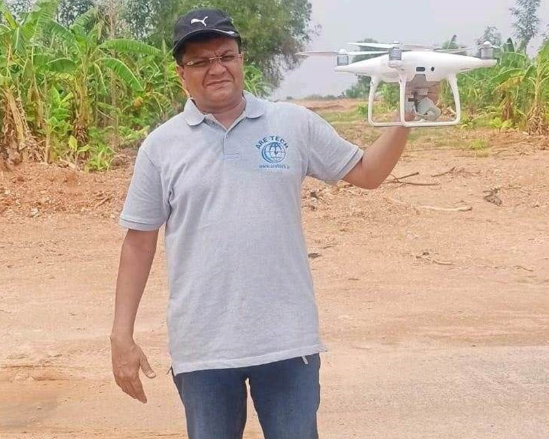
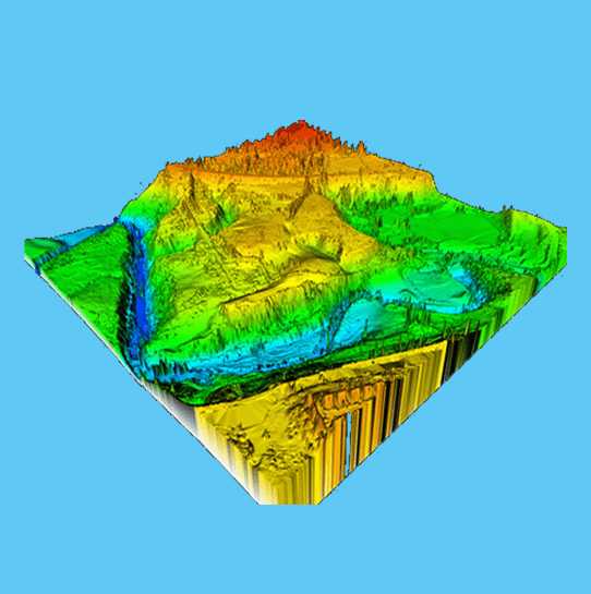
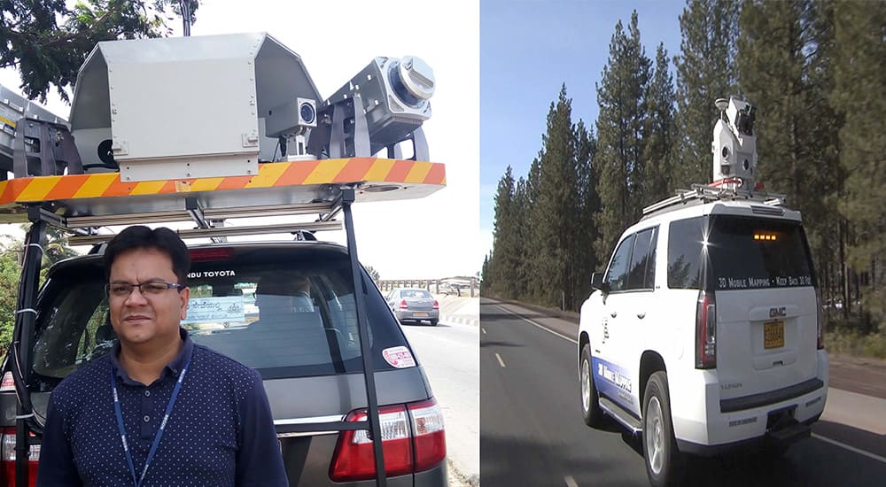
Aerial Survey & Mapping
ARETECH is having extensive experience in Geographical Information Systems (GIS) and Computer Aided Engineering Design (CAD) and Executed handful of works for clients in India and Abroad, Readmore..
Underground Utility Detection & NDT
Ground Penetrating Radar (GPR) is used for exploring the sub-surface to determine and validate the presence of underground utilities subject to soil conditions, Readmore..
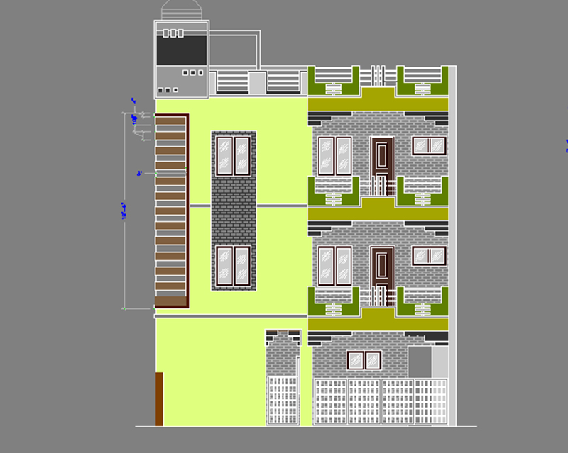
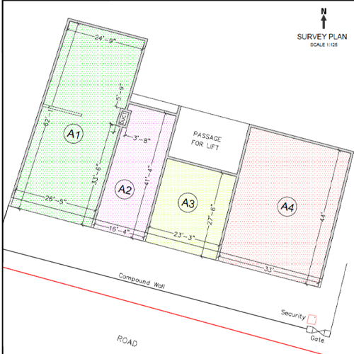
CAD/GIS Mapping
ARETECH is having extensive experience in Geographical Information Systems (GIS) and Computer Aided Engineering Design (CAD) and Executed handful of works for clients in India and Abroad., Readmore..
Photogrammetry
ARETECH performs Photogrammetry services from both Aerial Photographs and Stereo Satellite Images for all the latest Aerial and Satellite Photography sensors., Readmore..
working with us
Survey, Investigation, GPR, NDT, CAD/GIS, LiDAR, Photogrammetry, RoU, Land Acquisition, Irrigation, Highway Engineering, Civil Constructions & Manpower Services
Contact usWhat Our Clients Say!

Shivatony Tanu
Are Tech provides very good services like Geotechnical investigation and all type of Surveys. I worked here for 2 years and very good supporting staff and management. salary was well in time. Thank you so much

Ajay Jaiker
Aretech is a very good company, good leadership, many projects handled by Aretech in all over India, I worked for 2 years as a Surveyor & Award team in this office, employees are very supportive, Company policies are good, appraisals are fair and they give good salary hike and bonus every year

Praveen kumar
I would thank to Are tech Consultants they have really helped me reach my academical goals. they helped me each and every step. They are very professional, responsible and guide you patiently throughout the process

Gayatri Konnur
Are Tech Consultants is the good company all type of survey work are being executed. MD treats very good to all employees. nice place to work learning and explore support. good for freshers, learning and development. Thank you

Azra Kouser
Aretech is one of the best Survey and Investigation company

Joel Raj
On time deliverables with no compromise in quality

Competent Authority, HPCL Ananthapuramu, AP
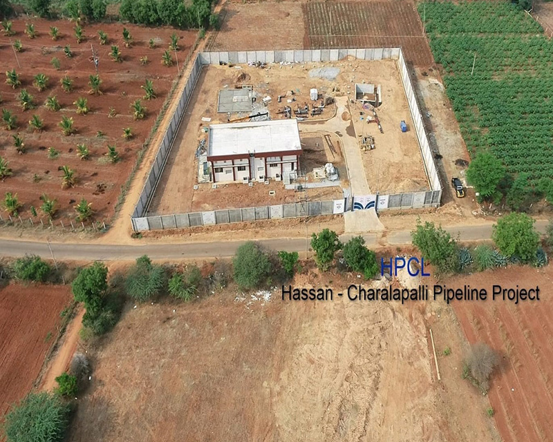
It gives me immense pleasure to state that ARETECH has done a admirable job of "CA services, Award preparation, Rates/Data collection and filling of Documents" for Hassan-Cherlapalli LPG Pipeline Project
DGM, HPCL, Andhra Pradesh
It gives me immense pleasure to state that ARETECH has done a commendable job of "Award preparation, Rates/Data collection and filling of Documents" for Hassan-Cherlapalli LPG Pipeline Project through SKP
Gallery
- All
- Survey
- Drilling
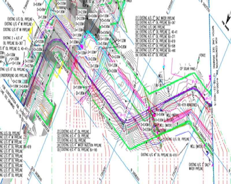
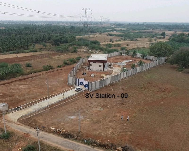
- Process of Pipeline
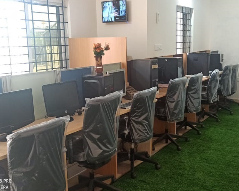
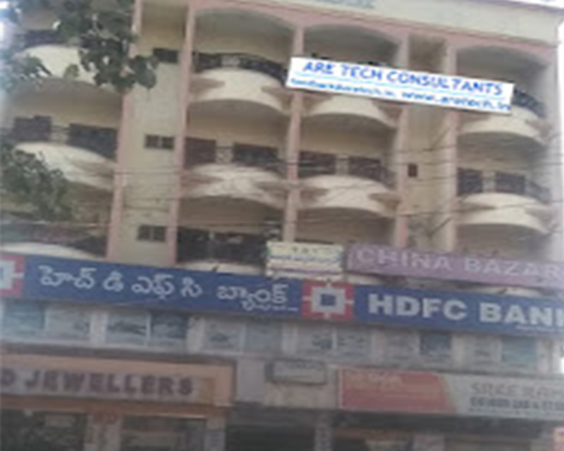
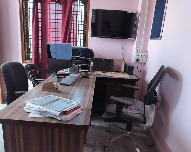
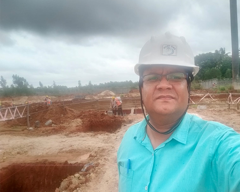
- Are Tech Offices
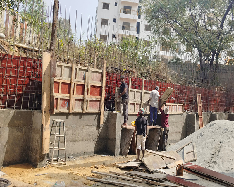
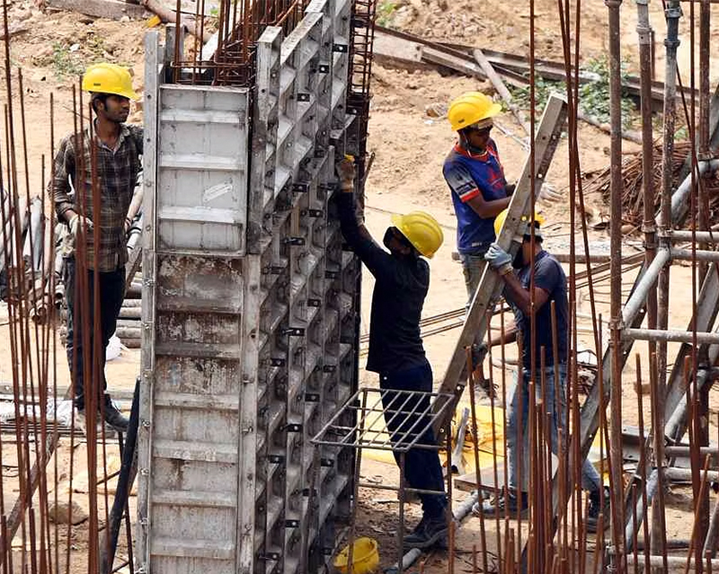
- Construction
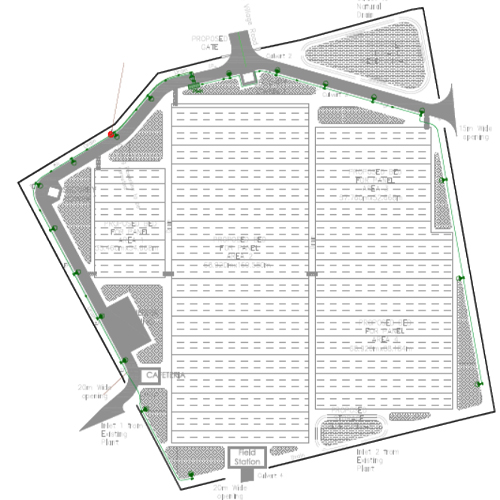
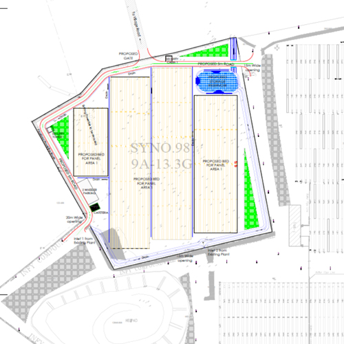
- Cadd Drawings